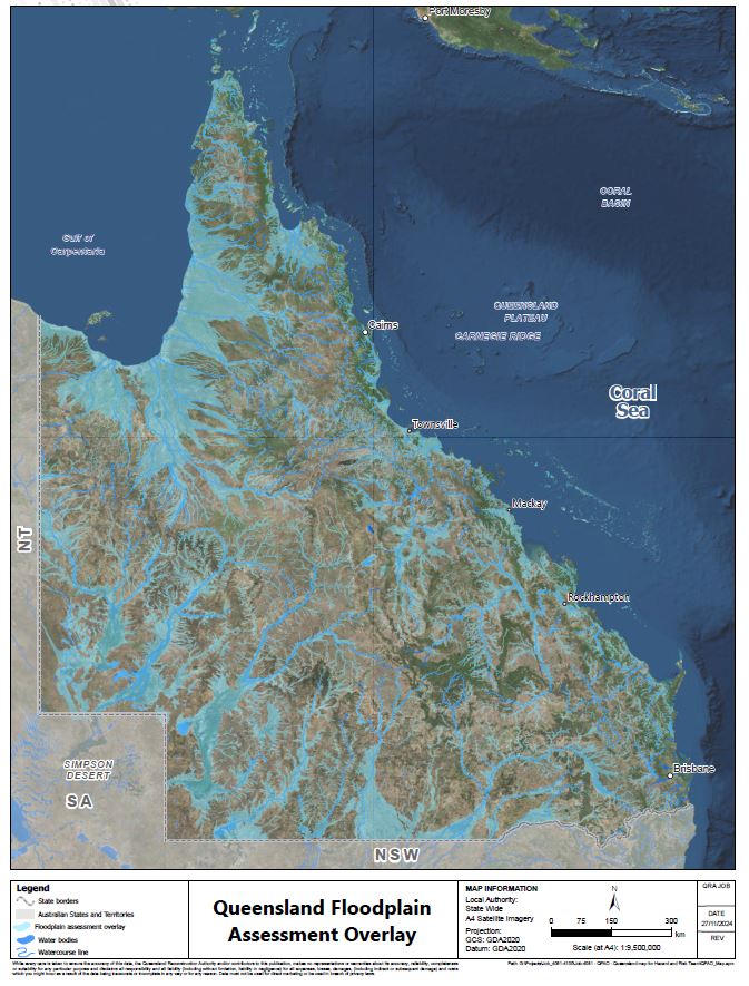
Queensland Floodplain Assessment Overlay
The Queensland Floodplain Assessment Overlay (QFAO) map layer identifies potential floodplains that may be at risk of inundation from riverine flooding. However, it is not intended to predict riverine flooding for specific land parcels. The map was created through an analysis of drainage patterns using data such as 10-meter contours from the best available elevation models, historical flood records, vegetation and soils mapping, and satellite imagery, rather than a specific flood modelling approach. This data serves as an interim assessment to help Local Government Authorities identify areas that may need further refinement.
As background, the Queensland Floodplain Assessment Overlay mapping was commenced in 2012 and completed in 2013 as an interim solution to:
- identify potential floodplains over the whole of Queensland
- provide an interim assessment to help communities decide priorities for more detailed flood investigations.
At the time of completion, the QFAO was the largest mapping exercise underway in Australia, however it was always intended to be an interim solution to provide a conservative estimate for communities of where more detailed flood mapping and studies may be required, recognising the time and cost required to prepare the more detailed flood mapping and studies.
In areas where detailed flood modelling assessments (e.g., flood investigations with a sub-basin approach, flood risk management studies, and implemented floodplain management plans) have been undertaken the QFAO is superseded. As local governments increase their levels of maturity with more detailed flood mapping and flood studies, it is likely the QFAO may be superseded across many areas of Queensland.
In council Flood Awareness Maps, where the QFAO map layer is shown, it should be noted that the QFAO shows the potential extent of the floodplain and does not indicate that an individual land parcel is subject to inundation. The QFAO should be viewed alongside historical flood data map layers where this information is available.
For more details about the QFAO and flood risk in your local area please contact your council.

Related resources
Source: Department of Natural Resources and Mines, Manufacturing and Regional and Rural Development
Reference: QRA CM QRATF/24/10363.


