


August
About the image
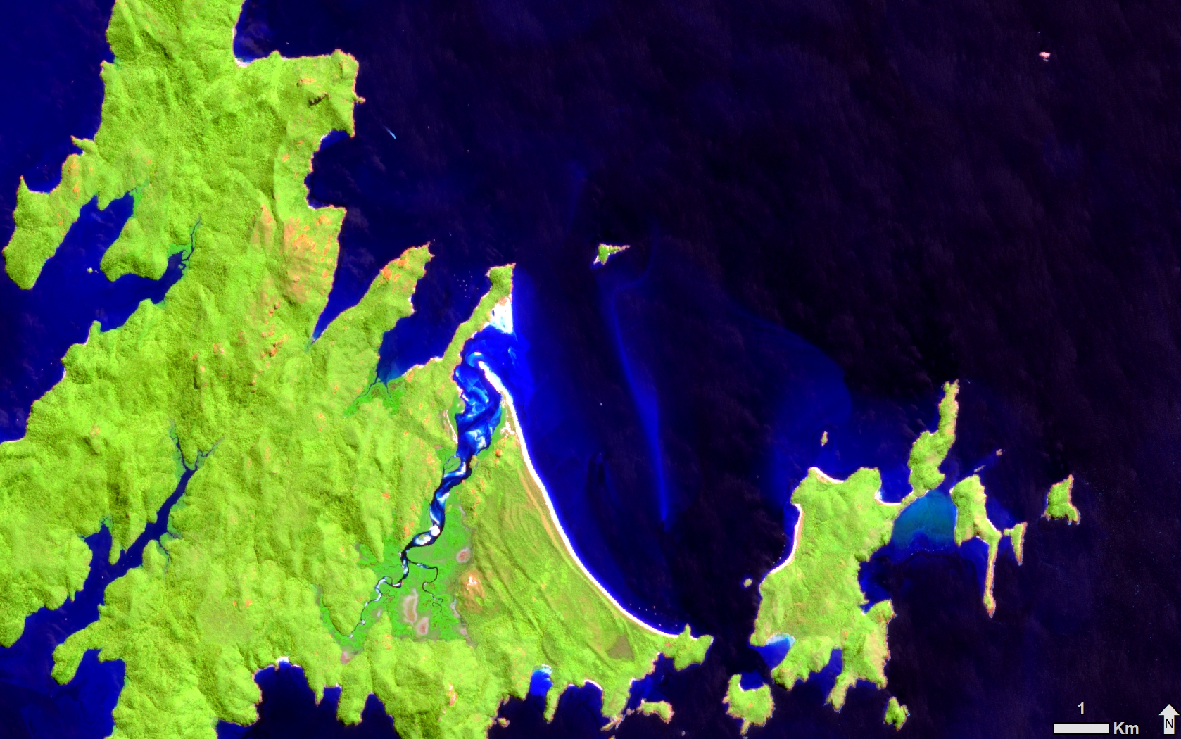
This satellite image shows part of the Whitsunday Islands, just off the coast from Airlie Beach in central Queensland. These islands are renowned for their clear blue waters and white beaches, which are visible in this false-colour satellite image. Blue and black shades represent water, while sandy beaches appear as brilliant white strips. The longest of these strips is the pristine 7 km of Whitehaven Beach, in the centre of the image. At the north-western end of Whitehaven Beach is Hill Inlet, with its tidal sandbars. Drifts of sand in relatively shallow water appear as aqua and pale-blue swirls. The different shades of green in the image reflect different vegetation types: the darker green areas near Hill Inlet are estuarine wetlands (mangroves and samphire forblands), while the lighter green areas are the casuarinas, eucalypts and vine forest that cover most of the island. Exposed rock is visible as reddish-brown patches along the sea edge and on top of mountains.
Whitsunday Islands
The hard rock that forms the Whitsunday Islands was deposited by volcanic activity, then uplifted to form mountains. At the end of the most recent Ice Age, around 10 000 years ago, sea levels rose and flooded the coastal plain. The former mountains were transformed into islands. As the sea levels started to rise, favourable ocean currents deposited the area’s famous white sand, which is not sourced from the local volcanic rocks. Today, the Whitsunday Islands are part of the Great Barrier Reef World Heritage Area.
The Whitsunday Islands are the traditional home of the Ngaro people, who maintain a strong and ongoing spiritual connection to the area. A rock shelter near Hill Inlet has been analysed by archaeologists, with evidence of occupation over 2800 years. Analysis of this site shows the Ngaro people ate more seafood than food from land sources, including shellfish, crabs and fish that lived in the estuaries and shallow waters of the inlet. Other archaeological sites in the Whitsundays show people occupied the area around 9000 years ago, with older sites likely to be now under water.
The Whitsunday Islands are a calving ground for humpback whales between May and September. Many species of migratory waders and seabirds are attracted to the shelter and food provided by the reef flats and beaches. Watching whales, walking trails, or digging your toes into the powdery white sands of Whitehaven beach—this is a truly wonderful part of Queensland to visit at this time of year.
Technical details
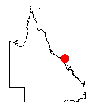
Satellite sensors are a timely and cost-effective way of collecting information in ecologically sensitive areas, such as the Great Barrier Reef. This Sentinel-2 image was captured on 15th of May 2021. The image is displayed using spectral bands 11 (shortwave-infrared), 8 (near-infrared) and 3 (visible green) in the red, green and blue channels, respectively. The image was supplied by the European Space Agency, and processed by the Queensland Government’s Remote Sensing Centre. The approximate location of the image is marked by the red dot in the map of Queensland.
For more information
Barker, B. (2004) The Sea People: late Holocene maritime specialisation in the Whitsunday Islands, central Queensland (PDF, 7.19MB).